|
Where: Skiddaw Hike from Keswick in the
Lake District of England
When: June 2014
Weather: Sunny
Height: 3,054ft / 931m
There are three main routes to hike
Skiddaw mountain, the main hiking trail is
from Keswick town, or from the car park above
Keswick, another from the Mirehouse car park
for the steep west route, and a third from a
car park at the Orthwaite hill road for the
long ridge north route.
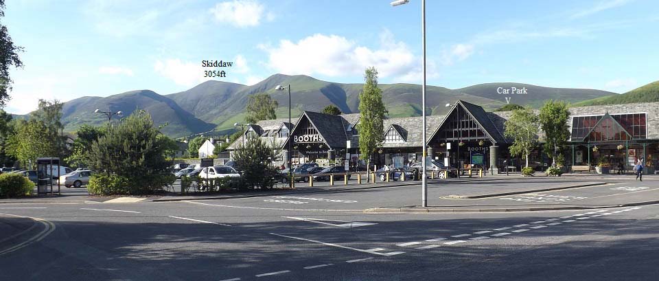
The image below is from the Booths store
in the centre of Keswick, showing the 3,054ft
Skiddaw mountain sitting high above the
town.
The car park in the image, up on the
hills, is about 950ft above sea level, named
Underskiddaw, so makes the hike a fair bit
easier than from Keswick, that is about 260ft
above sea level.
The trail from Keswick leaves from
Brundholme Road, goes up Spoonygreen Lane,
over the main road by bridge to the the hill
named Latrigg, then through the top car park
as seen in the image below. You will normally
see many cars parked on the roadside along
Brundholme Road, either side of Spoonygreen
Lane.
Keswick Road
Map . Large Image .
Keswick
Page
|
|
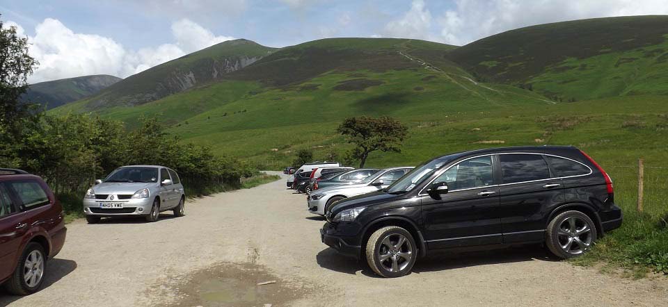
The image below is of the hiking car park
for the main hike up the south side of
Skiddaw mountain, named Underskiddaw. To get
to this car park, go to the large roundabout
on the A66 at Keswick, there only is one,
take the A591 for Carlisle, then after only
about 50 yards, take the hill road marked for
Ormathwaite. The narrow road up is well
marked and has many passing places. This car
park is about 950ft above sea level.
The hiking trail up from Keswick, over
Latrigg Hill, comes through this car park, it
is part of the Cumbria Way.
|
|
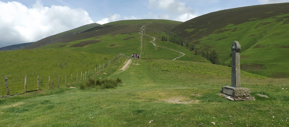
The image below is from just round from
the car park, at the monument looking
straight up the steepest section of the hike.
The top of the steep section there, up to the
first ridge, is about 2,030ft, so over 1000
ft of real tough hiking, it is steeper than
it looks from here.
This memorial is for the shepherds Edward
Hawell and his son Joseph, who reared
Herdwick sheep on these lands from the mid to
late 1800s.
|
|
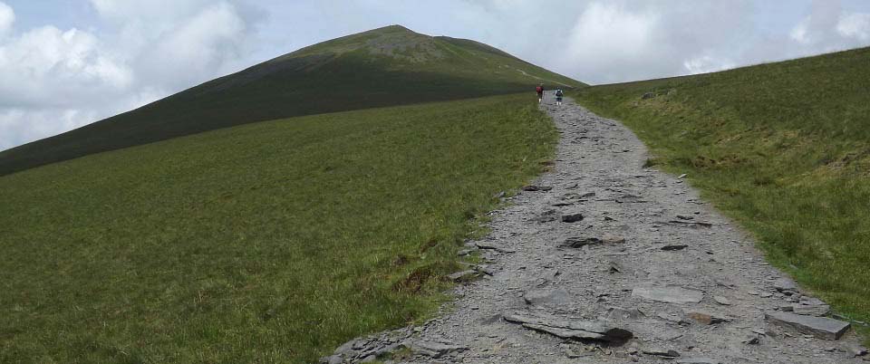
The image below is from the top of the
steep section at just over 2,000ft. The trail
has a steady incline from here to the top of
Skiddaw, by hiking straight past the 2,837 ft
Little Man with two peaks, as seen up to the
left there.
|
|
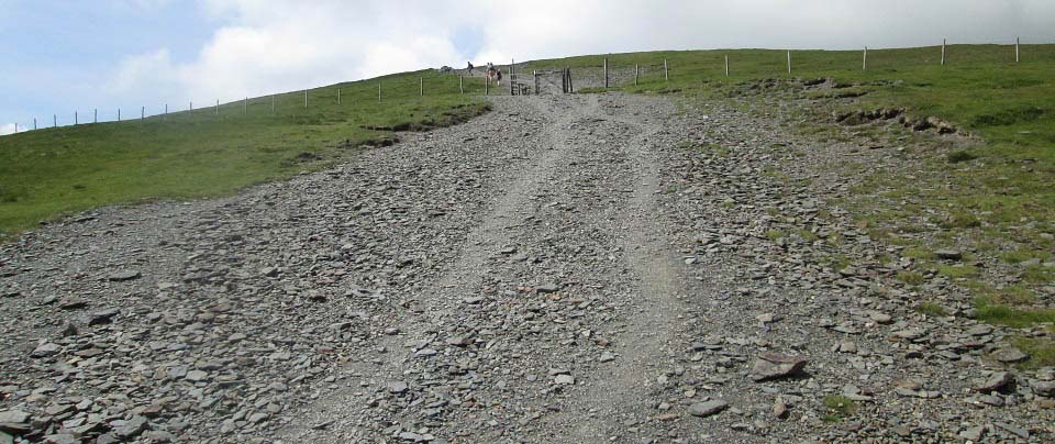
The image below is from where the trail
splits, left up to Little Man, or straight
ahead for a steady hike up to Skiddaw
summit.
|
|
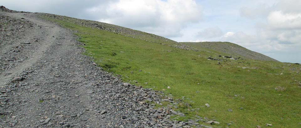
The image below is of the main trail as it
leads straight to Skiddaw. This is the best
man made path I have ever hiked, with the top
section having a steady incline. The mountain
is quite exposed, so even in a warm spell,
there was a cool breeze.
|
|
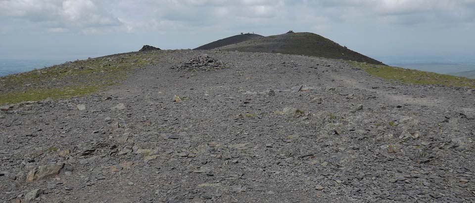
The image below is of the summit of
Skiddaw mountain when approaching from the
main south trail. This seemed a nice hike,
after forgetting about the steep section just
above the car park.
|
|
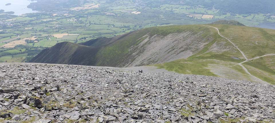
The image below is from walking along the
top of Skiddaw and looking down the west
side. That trail leading down the southwest
ridge, takes you to the very small village of
Millbrook. Don't think there are many car
parking places in Millbrook. That trail can
also lead down through Dodd Wood to the large
car park at Mirehouse, where there is a
tearoom and osprey viewing place.
|
|
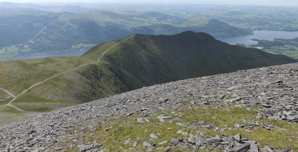
The image below is also looking down the
west side of Skiddaw at the northwest route
up the long ridge from the Orthwaite hill
road. There is a car park next to the
Orthwaite hill road that holds about 6 cars.
Looks a real nice route up.
|
|
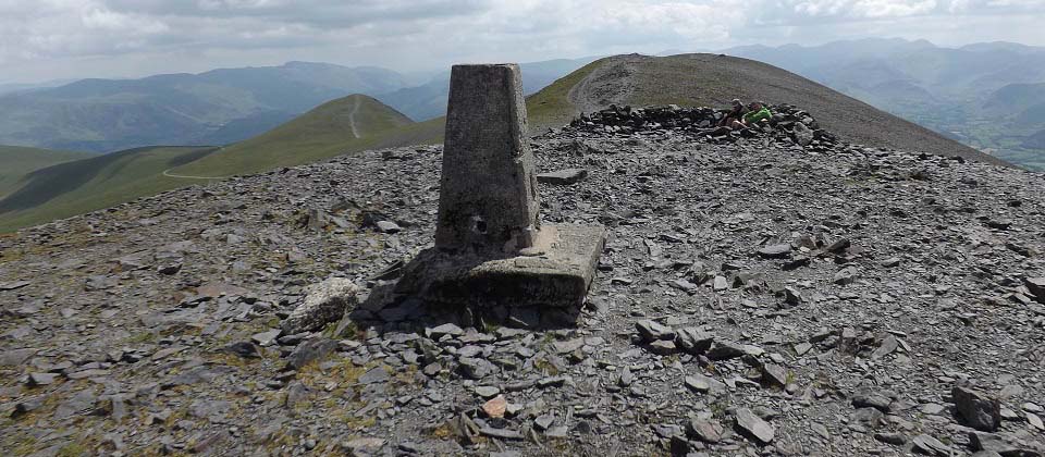
The image below is from Trig Point on
Skiddaw looking back down the main south
trail. This image shows the skiddaw trail
going round Little Man, and the trail over
the top of Little Man.
There is a viewing cairn on top here with
a brass plate showing all the main
attractions around Cumbria, as in a clear
day, you can see for miles all around.
|
|
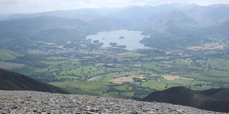
The image below is from hiking back down
the main south trail and looking down to
Keswick and Derwent Water. This is why I hike
in sunny days, for views like this, and I
always seem to get lost in cloud.
Large Image
|
|
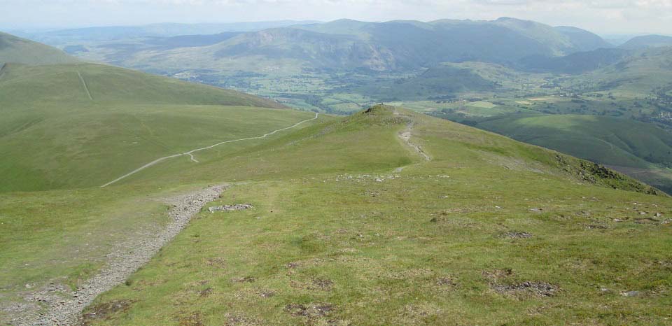
The image below is from the 2,837ft Little
Man heading back down to the main Skiddaw
trail.
|
|
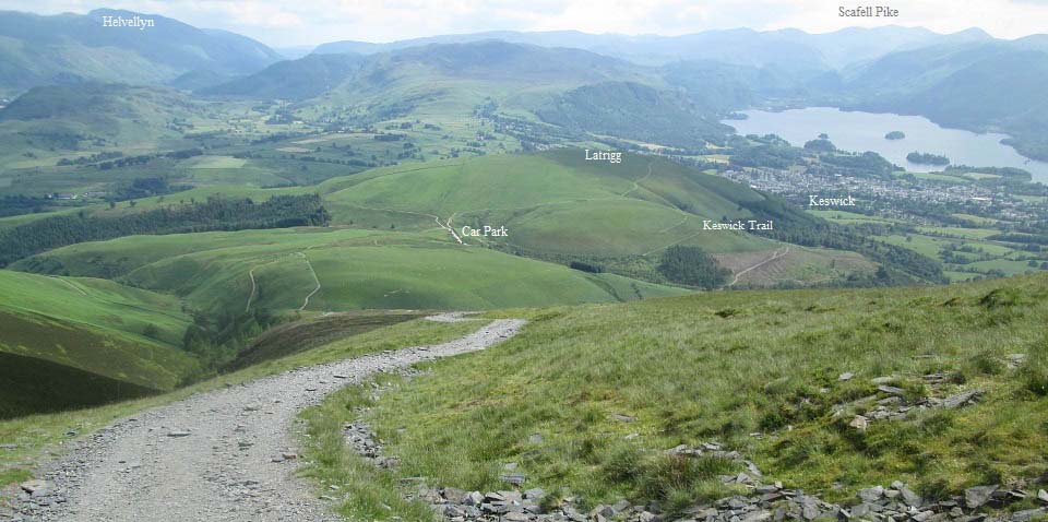
The image below is looking down the steep
section to the car park, showing just how
steep this section is. Note the trail down
into Keswick from the car park.
That is the 3,209ft Scafell Pike in the
distance, about 9 miles south of Keswick on
the B5289 with a car park at Seathwaite Farm
by Borrowdale for that hike. There are 3 more
mountains over 3,000ft next to Scafell
Pike.
The 3,117ft Helvellyn is about 7 miles
south of Keswick, with a large car park named
Thirlmere next to the A591 for the steep west
route up that mountain. Helvellyn is the
third highest mountain in England, after
Scafell Pike and Scafell.
|
|
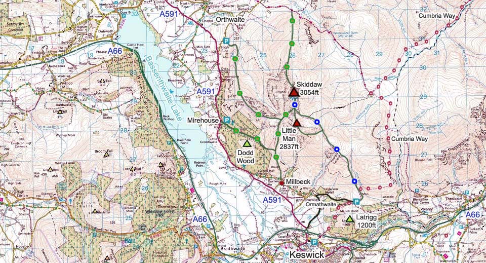
The Skiddaw Map below shows many of the
routes onto this mountain. Not sure if there
is any parking in Millbreck. The Orthwaite
hill road car park only holds about 6 cars.
The Ormathwaite and Mirehouse car parks are
large.
|
|
This was a tough hike to start of with,
then a pleasant hike the rest of the way.
There was a cool breeze most of the time,
making the hike in the summer really
enjoyable. The other routes up from the
southwest and northwest look more testing, a
mountain that can be hiked on a few
occasions.
Make sure and take an Ordnance Survey Map
and Compass on these hikes, and know how to
use them, as in cloud, these mountains can be
deadly. In Winter, make sure you have
Crampons and an Ice Axe, and know how to use
them.
Photo Tour of the Skafell Pike from
the north 9 miles south of Keswick.
|
|
