|
Where: Loughrigg Fell hike from Grasmere
in the Lake District of England
When: April 2016
Weather: Sunny
Height: 1,099ft / 335m
The Loughrigg Fell hike has some amazing
views over the scenic village of Grasmere
and Grasmere Lake.
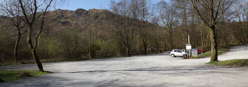
The image below is of the White Moss car
park 1 mile south of Grasmere, next to the
A591 road that runs between Keswick,
Grasmere and Windermere. That is the
1,099ft Loughrigg Fell looking over the car
park. This is a pay car park.
You can hike this fell from this car
park, or from Grasmere village.
This photo tour goes round to Grasmere
lake, up the north side, then down the
rough east side as can be seen below.
Grasmere to
White Moss Road Map
Grasmere Page
|
|
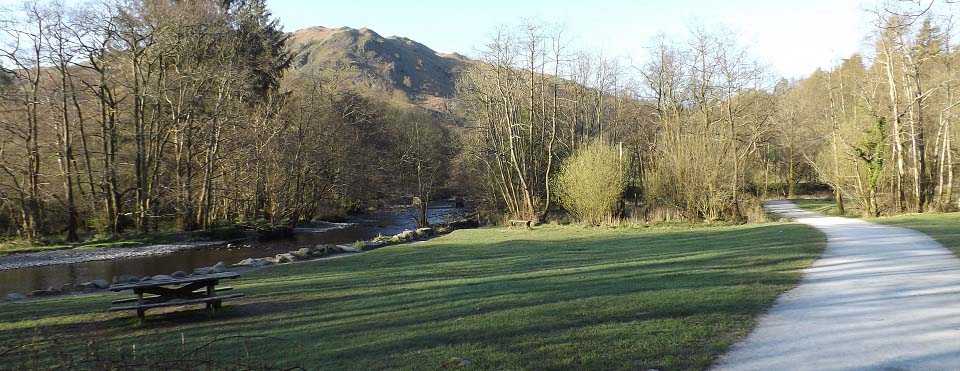
The image below is of the path leading
to Grasmere Lake. There is a bridge here
that crosses the river to paths that lead
north to Grasmere, and south to Ambleside.
There is also another bridge further on
that crosses the river at Grasmere
Lake.
|
|
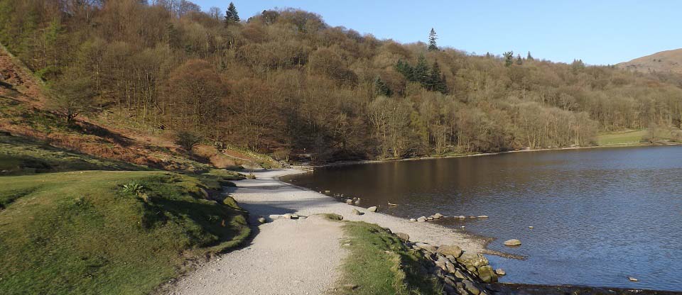
The image below is of the bottom of
Grasmere Lake. The second bridge crosses
the river here. Grasmere is across the lake
to the right, and Loughrigg Fell is to the
left.
|
|
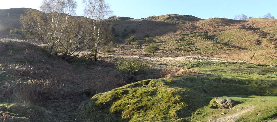
The image below is from the beach at
Grasmere Lake looking up the north side of
Loughrigg Fell. There are a few trails to
the top, some straight up, others winding
up.
|
|
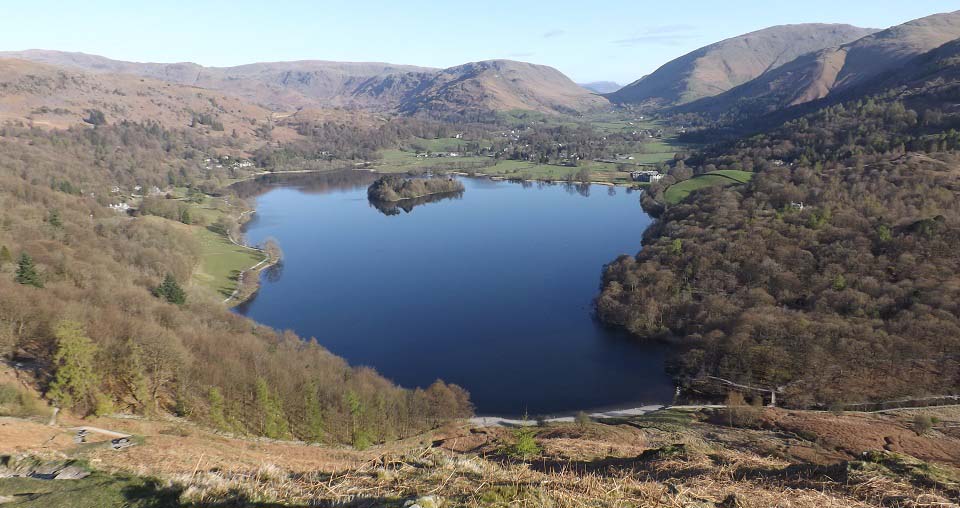
The image below is from about half way
up the north side, looking north to
Grasmere village. The valley beyond
Grasmere leads to Keswick, and the highest
mountain on the right is the 3,117ft
Helvellyn with two car parks up there to
hike from.
If you are doing this hike from
Grasmere, follow the single lane road down
the west side of the lake, left in the
image below, then about half way down,
follow a path acoss to the lake. This path
leads all the way down the side of the
lake, along the front of this fell, down
past Rydal Water, and on to Ambleside.
|
|
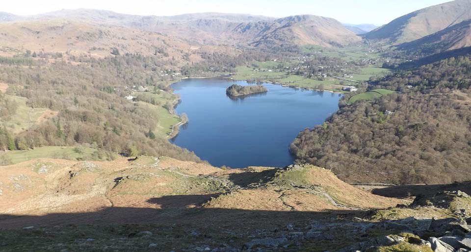
The image below is from about two thirds
of the way up. One of the top views in
England.
|
|
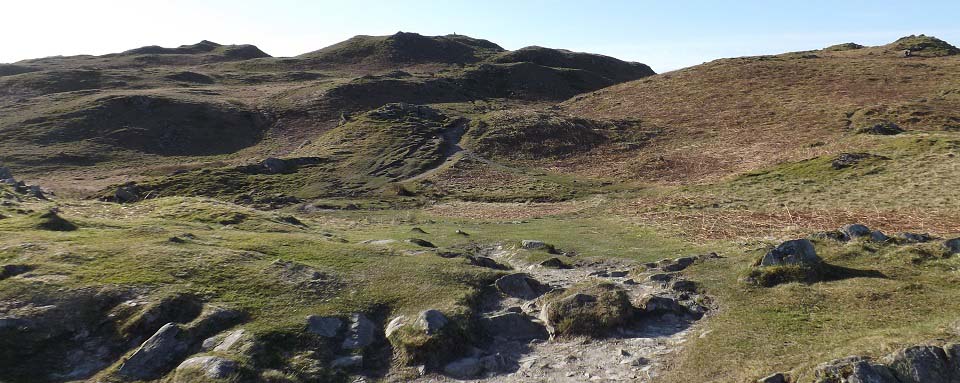
The image below is of the final section
up to the summit.
|
|
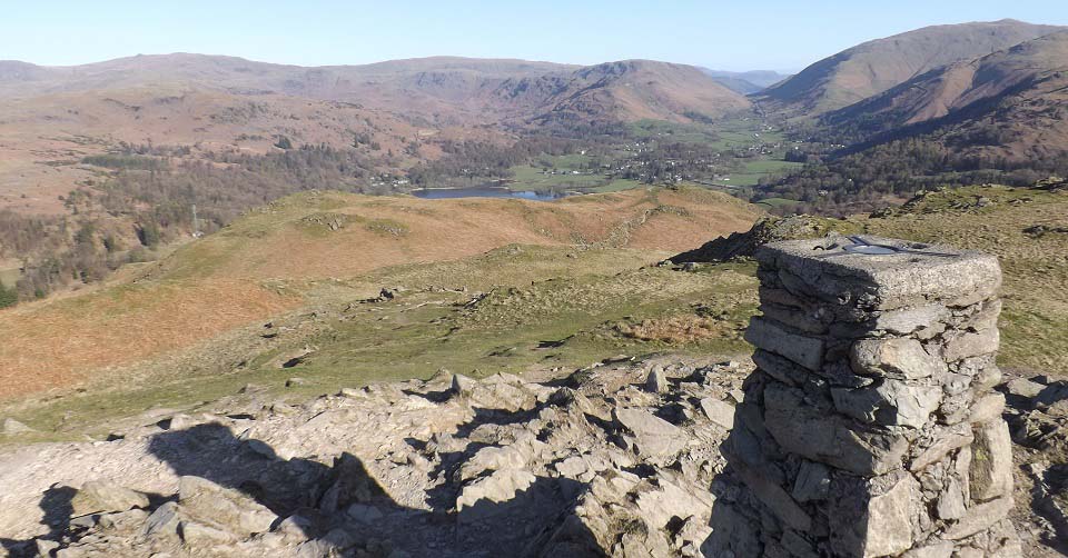
The image below is from the top of
Loughrigg Fell looking north to
Grasmere.
I decided to go down the east side,
right in the image below, for views over
Rydal Water and the car park.
|
|
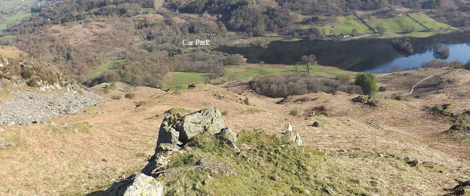
The image below is of the route back
down the east side, straight to the car
park and Rydal Water. There is no path down
this side, just pic one of a number of ways
down between the rocks. This is steep in
places and has a few high drops to look out
for. Once at the bottom, there is a path
through the trees to the car park.
The path down at the lake there is the
one that leads from Grasmere to Ambleside
past Rydal Water. That path leads to the
single lane Under Loughrigg road that leads
to Ambleside centre, past the River Rothay
Stepping Stones, about 3 miles from
here.
|
|
Make sure and take an Ordnance Survey
Map and Compass on these hikes, and know
how to use them, as in cloud, these
mountains can be deadly. In Winter, make
sure you have Crampons and an Ice Axe, and
know how to use them.
|
|
|