|
Where: Harrison Stickle Hike from The New
Dungeon Ghyl Hotel in the Lake District of
England
When: July 2014
Weather: Really Hot, High 80s
Height: 2,414ft / 736m
Harrison Stickle is the highest mountain
for hiking in the Langdale Valley, also known
as the Great Langdale Valley. Some of the
mountains in this area are referred to as the
Langdale Pikes, situated about 7 miles west
of the town of Ambleside.
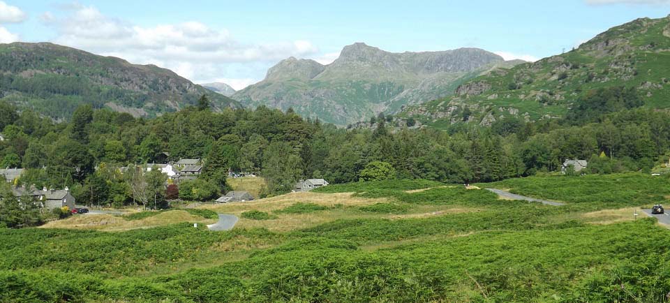
The image below is from the road that
leads from Ambleside to the Langdale Valley,
looking towards Langdale village, and the
Langdale Pikes in the distance.
Ambleside to
the Langdale Valley Road Map
|
|
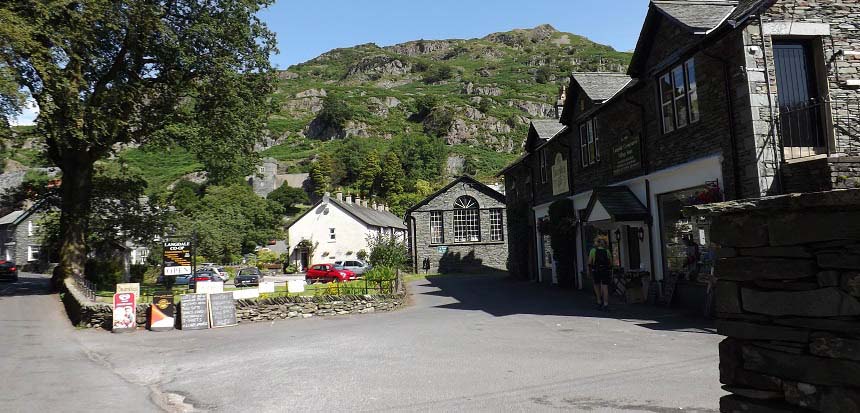
The image below is of Langdale village. I
had to stop here to get photos of the
Langdale Holy Trinity Chapel, that sits on
the side of the mountain. You can hike from
here across the 1,295ft Silver
How mountain to the village of Grasmere.
Be a nice hike between two of the most scenic
villages in England.
There is not much parking in Langdale
village.
|
|
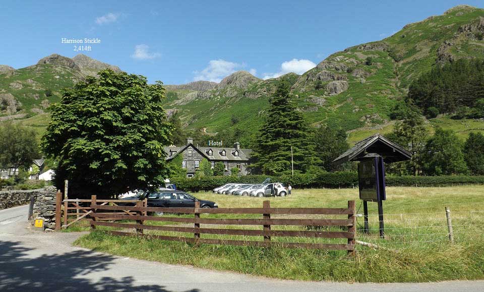
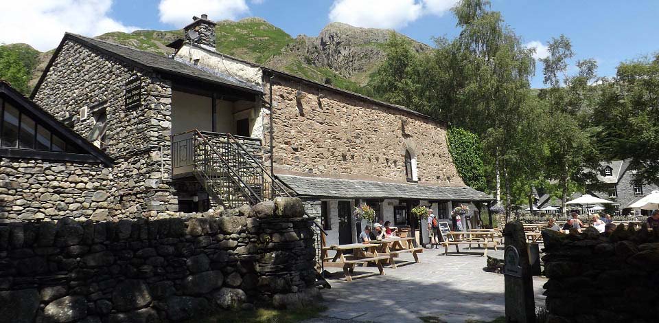
The image below is of the New Dungeon Ghyl
Hotel. The car park in the field here is run
by the hotel in summer. There is another car
park across the road run by the National
Trust.
Both car parks are pay and display, with
the national trust car park having a ticket
machine. The hotel car park tickets can be
acquired from the hotel bar. The hotel car
park is slightly less expensive. The roads
here are narrow with police warnings to
prevent roadside parking, so best be prepared
to pay for the parking.
There is a National Trust
Campsite close by, and other campsites in
the area.
|
|
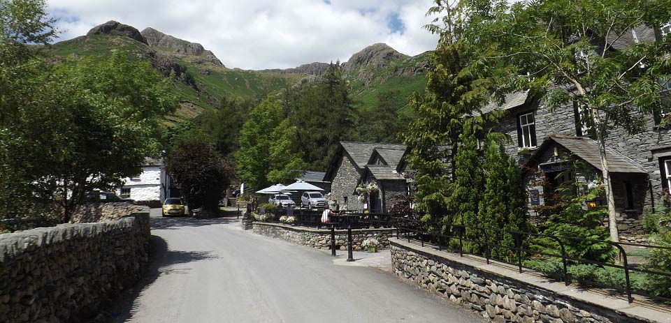
The image below is of the route onto
Harrison Stickle. Walk straight up past the
hotel to a hiking gate into a small field. Go
left through the field to a small bridge over
the burn/ghyl.
There is a route straight through the
field and up the right side of the burn, but
best avoid that route.
|
|
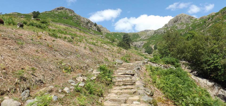
The image below is of the man made path up
the left side of the burn. This is the
tourist trail to the top.
You may see a number of ghyl scramblers on
the way up here.
|
|
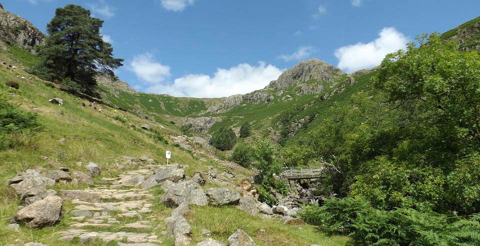
The image below is of the hiking bridge
about one third of the way up. Almost all the
hikers cross the bridge here and hike up the
right hand side.
The route on the left side is actually
steadier, but not as good a path as the right
side. Both routes merge further up, above the
waterfalls that you can see up there.
|
|
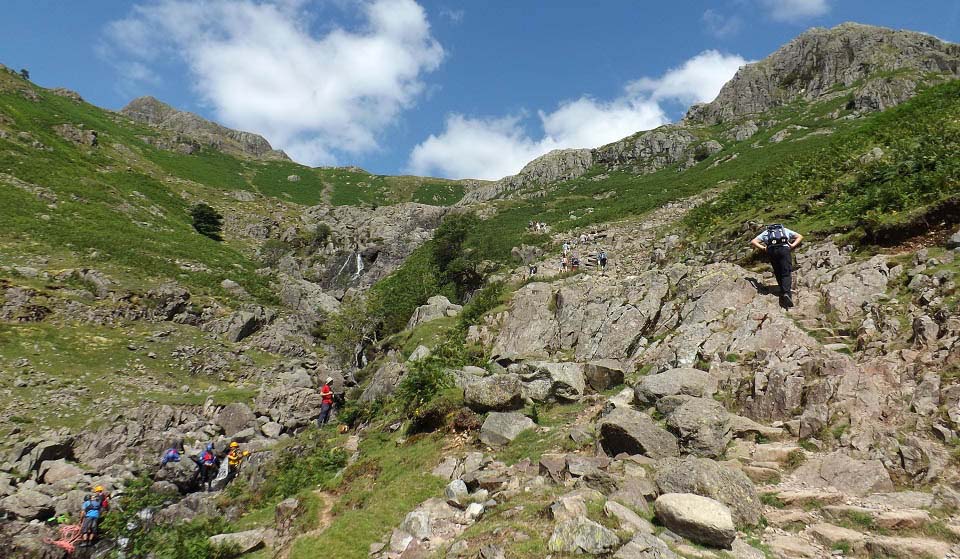
The image below is of the tourist trail
going up the right side past the water falls.
This is a busy mountain with hikers
everywhere, ghyl scramblers, rock climbers,
and para gliders.
|
|
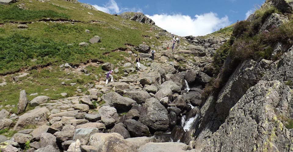
The image below is from the rock bridge at
the steep section up to Stickle Tarn. There
is also a little bit of rock climbing just
below this spot, that you have to scramble
over.
The left side path merges here, so I took
that path back down to miss the little bit of
rock climbing.
|
|
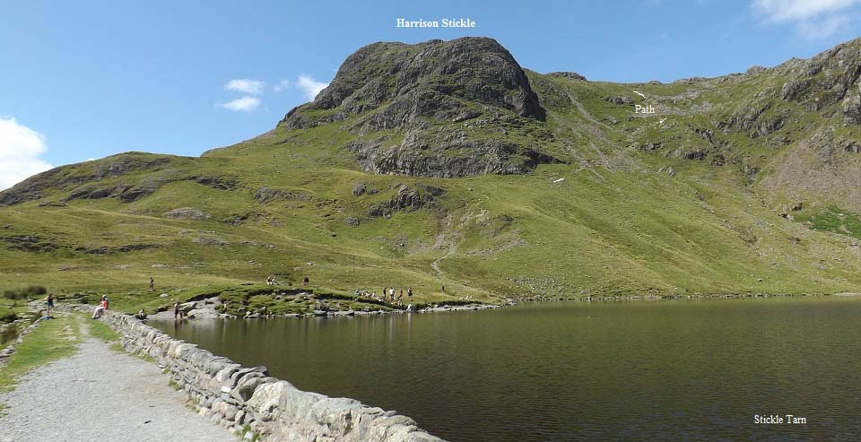
The image below is looking across Stickle
Tarn to the final steep section to the top of
Harrison Stickle. The tarn is about 1,500 to
1,600 feet above sea level, so it must be
about 800 feet from here to the summit.
It was hitting the 90s and I had people
waiting for me, so decided to leave the
summit for another cooler day. There were a
number of people swimming in the tarn, it was
that hot.
There are trails between Harrison Stickle
and a number of other mountains, just a few
feet less in height, on the same range. Most
trails lead back to the New Dungeon Ghyl
Hotel.
Large
Image.
|
|
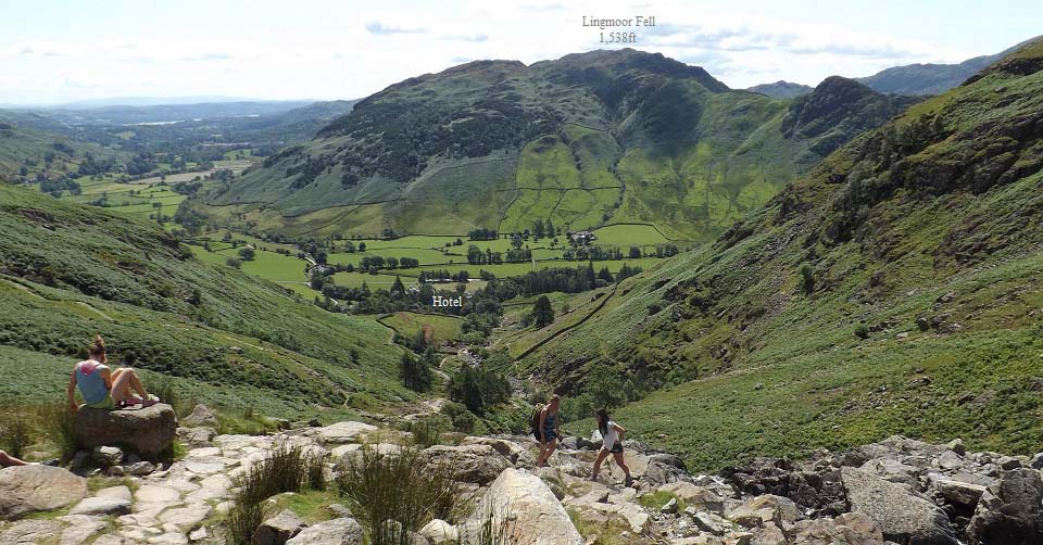
The image below is of the tourist trail
back down Harrison Stickle, close to the
waterfalls. That is the hotel down there, and
the 1,538ft Lingmoor Fell on the other side
of the valley. Lingmoor Fell is also a
popular hike from the same car parks.
Large Image
|
|
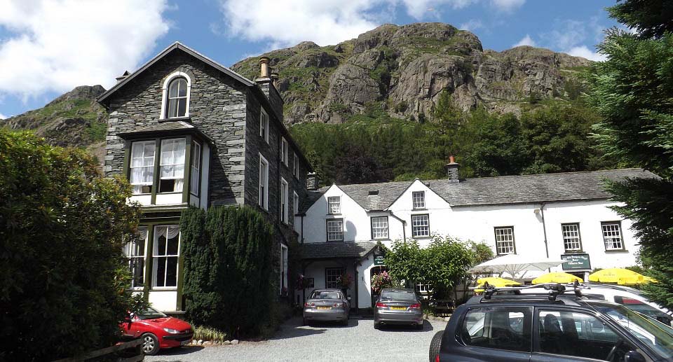
The image below is of the Old Dungeon Ghyl Hotel, one
mile west of the New Dungeon Ghyl Hotel. The
road down the valley basically ends here,
there is a single lane hill road that leads
back to Langdale over the hills. Only a farm
track and the Cumbria Way go any further
west.
The orange part on the top of this image
is a para glider that has just jumped off the
mountain.
Had to try this hotel out as well, so
popped in for a drink. The old bar has to be
seen.
|
|
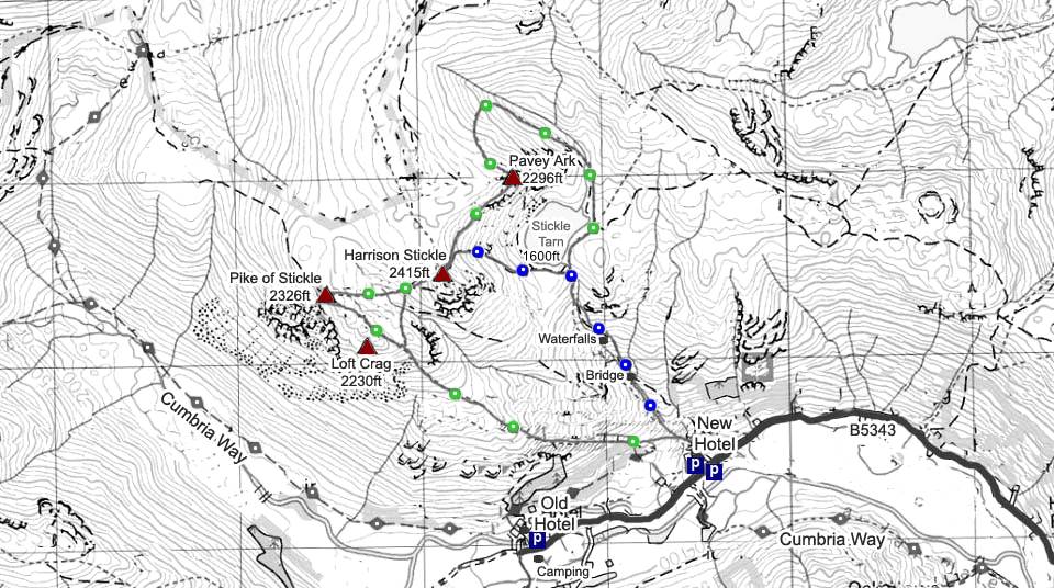
The Harrison Stickle Map below shows the
main tourist route onto the mountain with
blue dots. The green and brown dots show the
other trails that can be taken.
This was another real nice hike with great
views, and all sorts of mountain activities
taking place. The Cumbria Way runs up the
valley, so there are many less steep walks.
Even if you are not hiking or walking, the
area is great to visit just for the views.
Regular buses run between the hotels and
Ambleside.
Make sure and take an Ordnance Survey Map
and Compass on these hikes, and know how to
use them, as in cloud, these mountains can be
deadly. In Winter, make sure you have
Crampons and an Ice Axe, and know how to use
them.
|
|
|
